How Shifting River Courses Redefined Vineyard Boundaries in Lower Austria's Danube Corridors and Burgenland's Lake Environs
Casey Beck · Nov 14, 2026
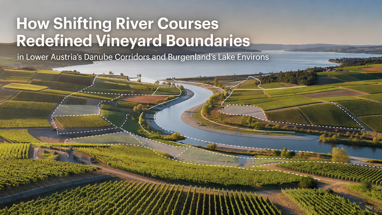
How Shifting River Courses Redefined Vineyard Boundaries in Lower Austria's Danube Corridors and Burgenland's Lake Environs
Shifting river courses have altered land allocations across Lower Austria's Danube corridors and Burgenland's lake environs for centuries, and data from geological surveys document these transformations through sediment layers and archival maps. The Danube's meanders created new deposits that extended or reduced arable zones, while similar dynamics around Lake Neusiedl influenced parcel divisions in adjacent wine districts. Researchers at the University of Natural Resources and Life Sciences in Vienna have mapped these alterations using core samples and historical records that date back to the medieval period.
Danube Corridor Dynamics in Lower Austria
Lower Austria's Danube sections experienced repeated channel migrations that deposited fertile alluvium in some areas while eroding others, and these processes directly affected the extent of vineyard holdings. Cartographic evidence from the 18th and 19th centuries shows former river bends that now lie inland, with former islands incorporated into mainland estates. Observers note that estates near Tulln and Krems adjusted their property lines multiple times after major floods in the 1700s, as new sediment bars became stable enough for cultivation.
Geophysical studies reveal that gravel bars formed during high-water events gradually stabilized and received topsoil through subsequent floods, creating patches suitable for grapevines. Land registries from the Habsburg era record disputes over these emerging territories, with surveys commissioned to settle ownership. Those who study these records find that many current vineyard edges align with former riverbanks rather than original grant boundaries, and modern GPS mapping confirms the discrepancies.
Burgenland Lake Environs and Parallel Changes
Around Burgenland's Lake Neusiedl, smaller watercourses and seasonal flooding produced comparable boundary shifts, although on a different scale from the main Danube channel. Sediment accumulation extended shorelines in some decades while storm surges removed land in others, and these fluctuations prompted repeated cadastral revisions. Archival documents from the 19th century list vineyard parcels that disappeared after high-water years and new ones that appeared on freshly deposited ground.
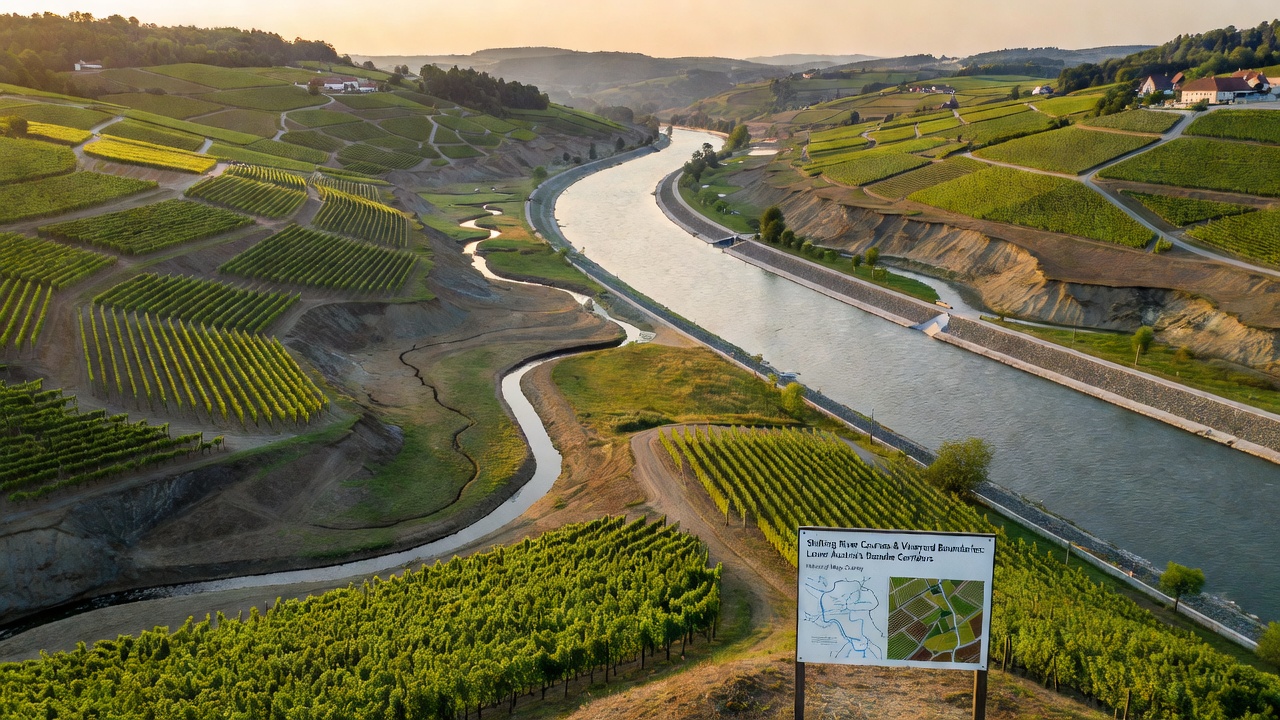
Local authorities responded by updating property registers after each significant event, and these updates created the patchwork of vineyard boundaries visible today. Studies conducted by the Austrian Geological Survey document layers of lacustrine deposits that correspond to known flood episodes, providing a timeline for when certain plots became viable for planting. Vineyards in the Seewinkel region often sit on ground that was underwater or marshy only a few generations ago, according to soil profiles examined in recent decades.
Legal and Administrative Responses
Boundary redefinitions required legal mechanisms to transfer titles or compensate affected owners, and Habsburg land laws included provisions for alluvial land that passed into private hands after stabilization. Later Austrian republic statutes maintained similar principles, requiring official surveys before new plantings could receive appellation status. Records show that several estates in both regions submitted updated maps in the early 20th century after particularly active flood periods, and these submissions established the lines still used for regulatory purposes.
Contemporary monitoring programs continue to track channel stability, and data from the International Commission for the Protection of the Danube River indicate that engineering works since the mid-20th century have reduced the frequency of major shifts. University researchers have compiled these datasets to model future scenarios under varying climate conditions, while the European Environment Agency supplies supplementary hydrological statistics from across the basin. In November 2026, updated boundary assessments based on this ongoing work are scheduled for release to regional planning offices.
Conclusion
Historical river migrations in the Danube corridors and around Lake Neusiedl produced measurable changes in vineyard extents that remain visible in current property lines and soil distributions. Geological and archival evidence together demonstrate how these natural processes interacted with human administrative systems to create the landscape patterns observed today. Continued monitoring ensures that any future adjustments rest on documented physical changes rather than speculation.