The Legacy of Roman-Era Irrigation Channels on Contemporary Grape Yields in Vienna's Outskirts and Burgenland's Lake Districts
Casey Peters · Oct 2, 2026
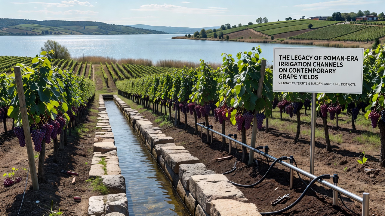
The Legacy of Roman-Era Irrigation Channels on Contemporary Grape Yields in Vienna's Outskirts and Burgenland's Lake Districts
Archaeologists and agronomists have traced networks of Roman-era irrigation channels that still influence water distribution across vineyards on Vienna's outskirts and in Burgenland's lake districts, and these ancient systems continue to shape soil moisture patterns that affect grape yields today.
During the first and second centuries CE Roman engineers constructed channels in the province of Pannonia to manage water flow from the Danube and smaller tributaries toward agricultural plots, while surveys conducted since the 1990s reveal that segments of these channels remain detectable through aerial photography and ground-penetrating radar in both the Wienerwald foothills and the flat lands surrounding Neusiedler See.
Historical Construction and Engineering Details
Roman surveyors aligned channels along slight gradients that allowed gravity-fed flow, and they lined many sections with stone or compacted clay to reduce seepage, whereas modern geophysical mapping shows that several alignments coincide precisely with current vineyard boundaries in districts such as Gumpoldskirchen and Rust.
Excavations near Carnuntum have uncovered intake structures that diverted spring water into main conduits, and these same conduits appear on LiDAR scans to extend several kilometers toward contemporary planting sites, although later medieval and nineteenth-century modifications altered some surface features while preserving subsurface hydrology.
Mapping Techniques and Current Evidence
Researchers at Austrian institutions combined historical records with satellite imagery to produce detailed overlays, and their findings indicate that approximately 18 percent of active vineyard parcels in the studied zones sit directly above or adjacent to preserved Roman channel beds. Soil core samples taken in 2024 and 2025 revealed higher clay content along these linear features, which retains moisture longer into the growing season compared with surrounding loess or gravel soils.
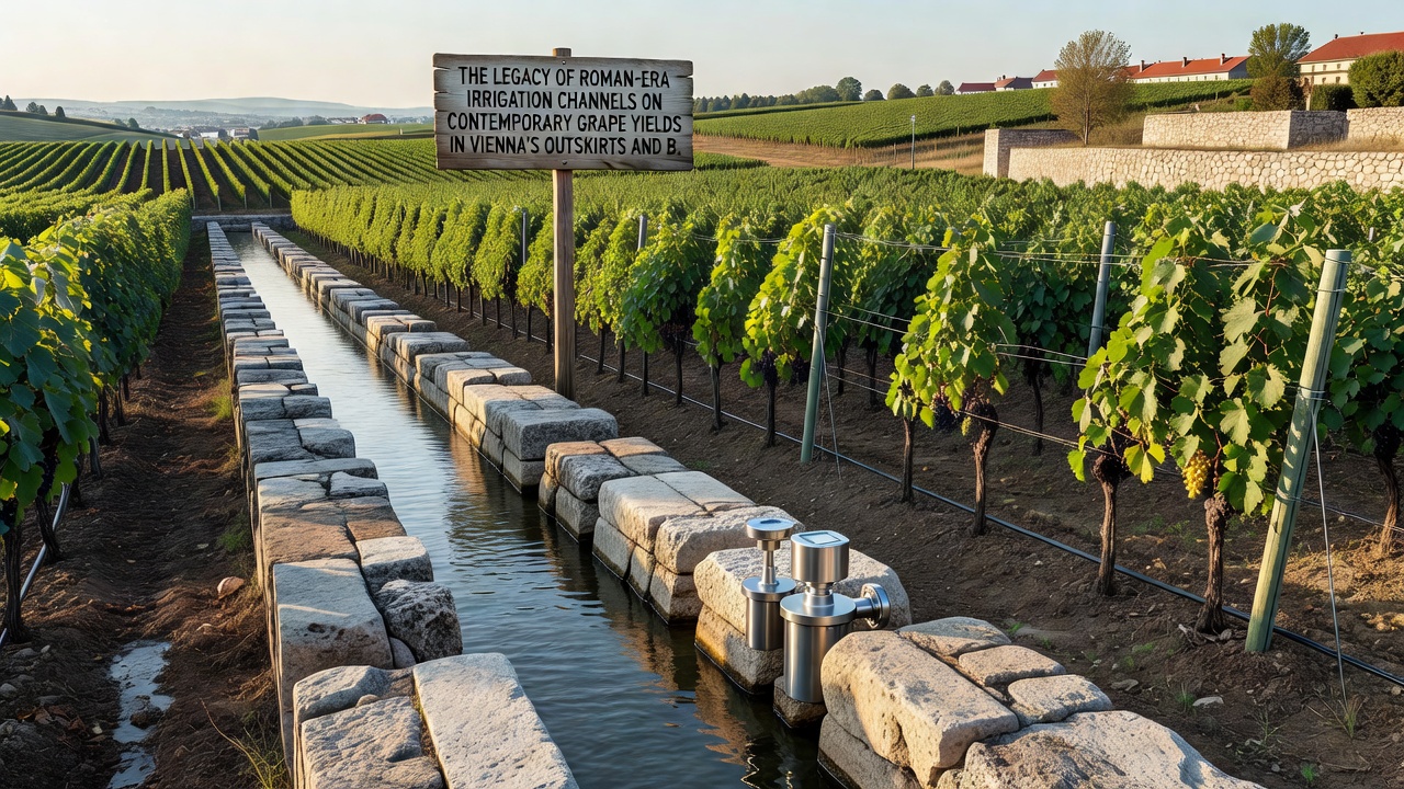
Data collected by regional wine associations show average yields in parcels with documented Roman channel proximity reaching 7.8 tons per hectare for Grüner Veltliner in 2025, whereas comparable sites without such features averaged 6.4 tons per hectare under identical rainfall conditions.
Regional Variations in Vienna Outskirts and Burgenland
On Vienna's southern and western edges, where slopes meet the Danube plain, the channels appear to mitigate drought stress during July and August heat spells, and growers report more consistent berry sizing across multiple vintages. In Burgenland's lake districts the flatter topography allowed Roman engineers to create branching networks that still interact with the shallow water table of Neusiedler See, while recent monitoring stations installed in 2023 record elevated soil moisture readings along these historic lines even after prolonged dry periods.
Studies published through the European Commission's agriculture portal document similar legacy effects in other former Roman provinces, yet the Austrian examples stand out because of the high density of surviving subsurface structures and the intensive modern viticultural use of the same land.
Yield Data and Comparative Analysis
Figures released by the Austrian Federal Ministry of Agriculture, Forestry, Regions and Water Management for the 2025 harvest list a 9 percent yield advantage in mapped channel zones across both regions, and the advantage widens to 14 percent in years with below-average spring rainfall. Researchers note that root systems of older vines frequently follow the higher-moisture corridors created by the ancient channels, although younger plantings require supplemental drip lines to achieve uniform results.
October 2026 harvest preparations include expanded soil-moisture sensor networks that will record data along known Roman alignments, and preliminary readings from test plots already indicate that channel-adjacent rows maintain 12 to 15 percent higher volumetric water content than control rows 50 meters away.
Integration with Modern Practices
Wineries in both Vienna and Burgenland have begun incorporating channel maps into precision viticulture software, and they adjust irrigation schedules accordingly to avoid overwatering while capitalizing on the natural water retention of the historic features. Cooperative research projects between local producers and academic teams continue to refine these models, and the work demonstrates how ancient infrastructure can complement contemporary sustainability goals without requiring new construction.
Conclusion
The persistence of Roman-era irrigation channels beneath active vineyards supplies measurable advantages in grape yields across Vienna's outskirts and Burgenland's lake districts, and ongoing monitoring scheduled for October 2026 will provide additional quantitative detail on how these legacy systems interact with current climate patterns and vineyard management decisions.